
Work with plans for oceanic regattas by calculating and selecting the tracks and checking the time frames along with possible critical points. A circle and rhumb lines calculator for long passages is available. Weather routing based on forecast options are included.
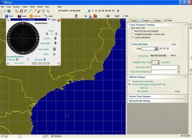
VRTool is a program that helps you plan oceanic regattas. It features a track planner for designing and calculating times in critical points, a great circle and rhumb lines calculator for long passages, weather routing, track optimization based on weather forecasts and boat polars, the ability to save regatta history to disk, and wind grid visualization options.
VRTool helps you plan oceanic regattas.
Program features:
- Track planner - Design your track and calculate times in critical points.
- Great circle and rhumb lines calculator for long passages.
- Weather routing - Track optimization based on weather forecasts and boat polars. Add isochrones and best track to the desktop.
- Save regatta history to disk.
- Wind grid visualization options: arrows, barbs, wind speed, direction , boat polars, boat speed scale.
- Wind speed color gradient. Filters to hide winds too weak or too strong.
- Import data from Virtual Regatta and uGrib
- Track animation - Review legs at high speed.
- 3D view (uses OpenGL)
- All data files in text format (either XML or CSV)




Comments